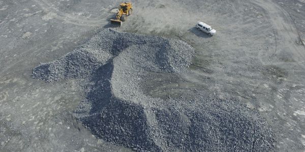
Using aerial photos with a drone we can produce maps and 3D images to view in a variety of software packages
Fully licensed to fly anywhere in Canada
113-437 Martin Street, Box 406, Penticton, BC V2A5L1, Canada
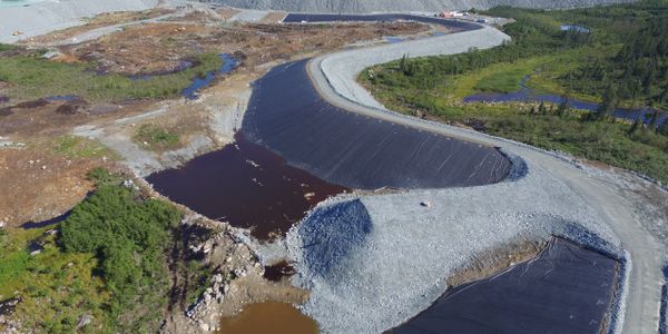
3D surfaces for contours maps
Quarry volumes
Irregular shapes measured with accuracy
Houses or property in 3D
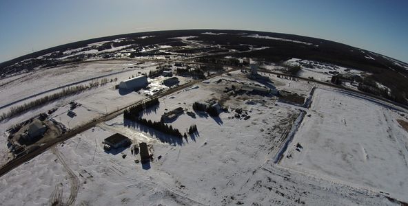
Orthometric photos updated when you want in UTM or any local coordinate system.
Check out this video
Copyright © 2020 Screaming Eagle Eyes Consulting - All Rights Reserved.
Powered by GoDaddy Website Builder